Every discipline, one workflow
Land surveying, GIS, mapping, engineering surveys, drones, and land information management — traditional surveying and modern geospatial technology, under one roof.
Core services
Land Search & Due Diligence
Verifying ownership, encumbrances, and title status before a transaction or development decision.
Title Processing Assistance
Supporting clients through title deed processing, registration, and related documentation.
Cadastral & Boundary Surveys
Establishing and verifying legal property boundaries against survey and title records.
Topographic Surveys
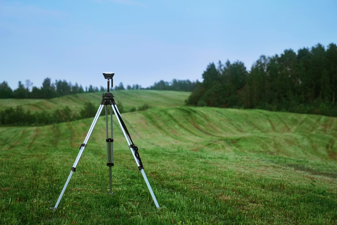
Full-site GNSS RTK and total-station capture of boundaries, features, and terrain for planning and design.
Engineering & Construction Surveys
Setting out, as-built verification, and control for construction and infrastructure projects.
Drone Mapping & Photogrammetry
GCP-controlled drone flights processed into orthomosaics, DEMs, and high-precision contours.
GIS & Spatial Analysis
Turning spatial datasets into maps and analysis that support planning and decision-making.
Web GIS & Land Information Systems
Interactive, browser-based mapping and land information systems built for real use, not just viewing.
Parcel Digitization & Mapping
Converting paper title deeds and survey records into accurate digital parcel boundaries.
Google Earth & KML Visualization
Packaging survey and mapping data into KML for accessible, shareable visualization.
Bathymetric Surveys
Depth-sounding data converted into elevation grids and surface models for dam and reservoir work.
Deformation Monitoring
Repeat, precise measurement of structures or ground to detect movement over time.
Land Subdivision & Consolidation
Survey and documentation support for splitting or combining parcels.
Contour & Terrain Modeling
Turning point and elevation data into contours and terrain models engineers can design against.
Survey Consultancy & Technical Reporting
Independent technical input, feasibility input, and clear reporting for projects that need it.
Full capability directory
Everything above, broken down
Land Administration
Cadastral Surveying
Topographic & Engineering Surveys
GIS & Mapping
Drone & Remote Sensing
Environmental & Natural Resources
Hydrographic & Mining
Data Processing & Visualization
Consultancy & Training
Not sure which of these you need?
Tell me about the site and I'll tell you what it actually needs — most projects use two or three of these together, not one.