Titus Ngayo Kasaine
About

Titus Ngayo Kasaine

Graduate Surveyor — Surveying Technology
-1.29210° S 36.82190° E — Nairobi, Kenya

I work at the intersection of traditional land surveying and modern digital technology. Surveying isn't just measuring land to me — it's building accurate, reliable spatial information that property owners, developers, engineers, and investors can actually make decisions on.

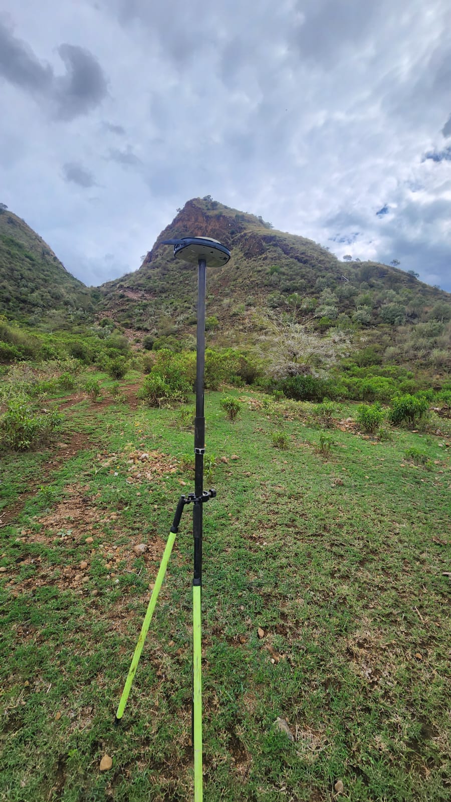
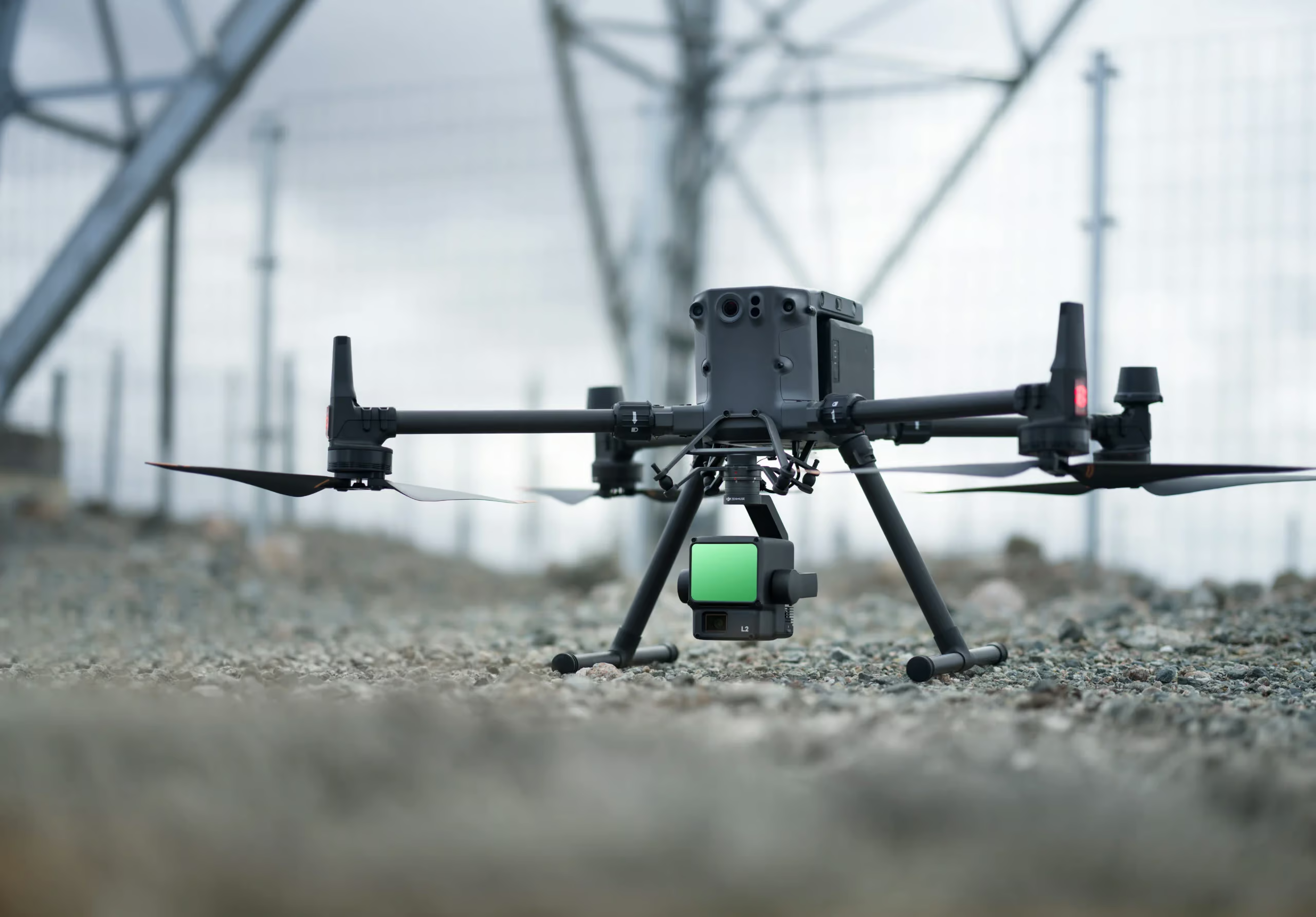
My work runs from field data acquisition — GNSS, total stations, drones — through processing, quality control, GIS analysis, and into digital databases and interactive web mapping. The goal isn't just a survey result; it's a digital asset that stays useful for the life of a project.

What I'm building toward

A next-generation Land Information & Property Intelligence Platform — bringing survey-grade cadastral data, interactive parcel mapping, drone imagery, and GIS analytics into one place, so land information becomes as accessible as it is accurate.

Degree, Surveying Technology

Technical University of Kenya

AutoCAD Civil 3D Certified

Bell Institute of Technology

How it works

Raw terrain, made usable

A real capture from the field — scroll, or drag to compare.
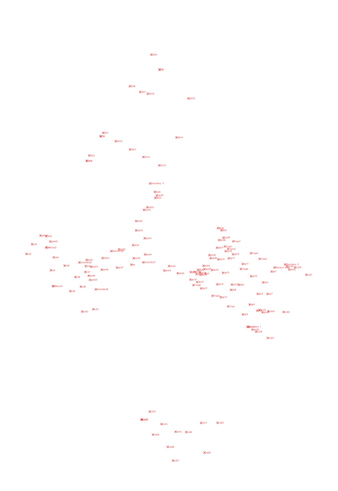
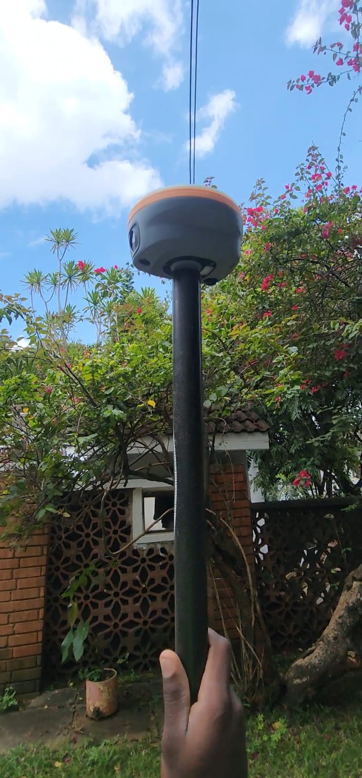
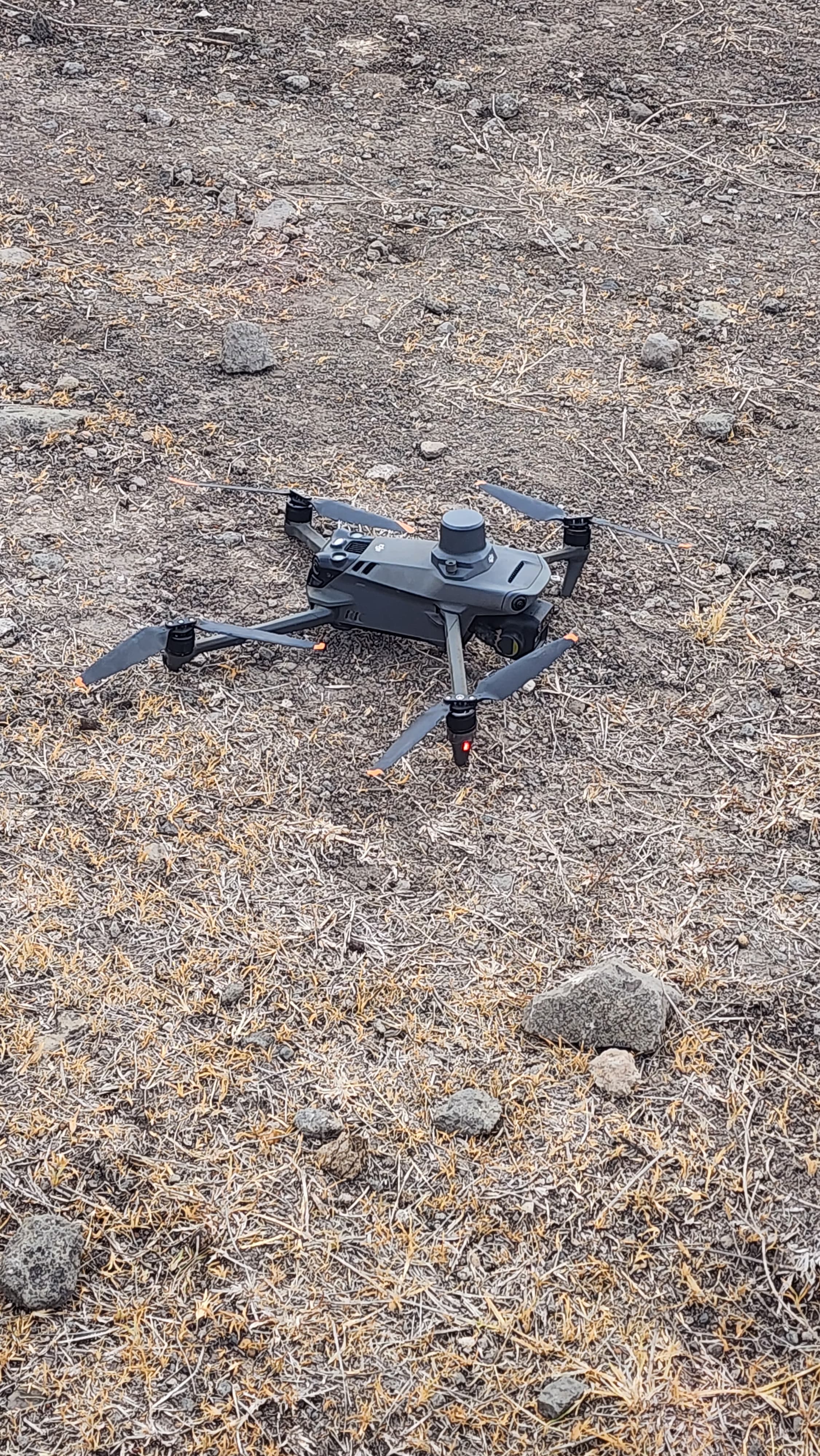
Raw field capture before processing
Processed survey output
ProcessedRaw capture

Selected fieldwork — by coordinate
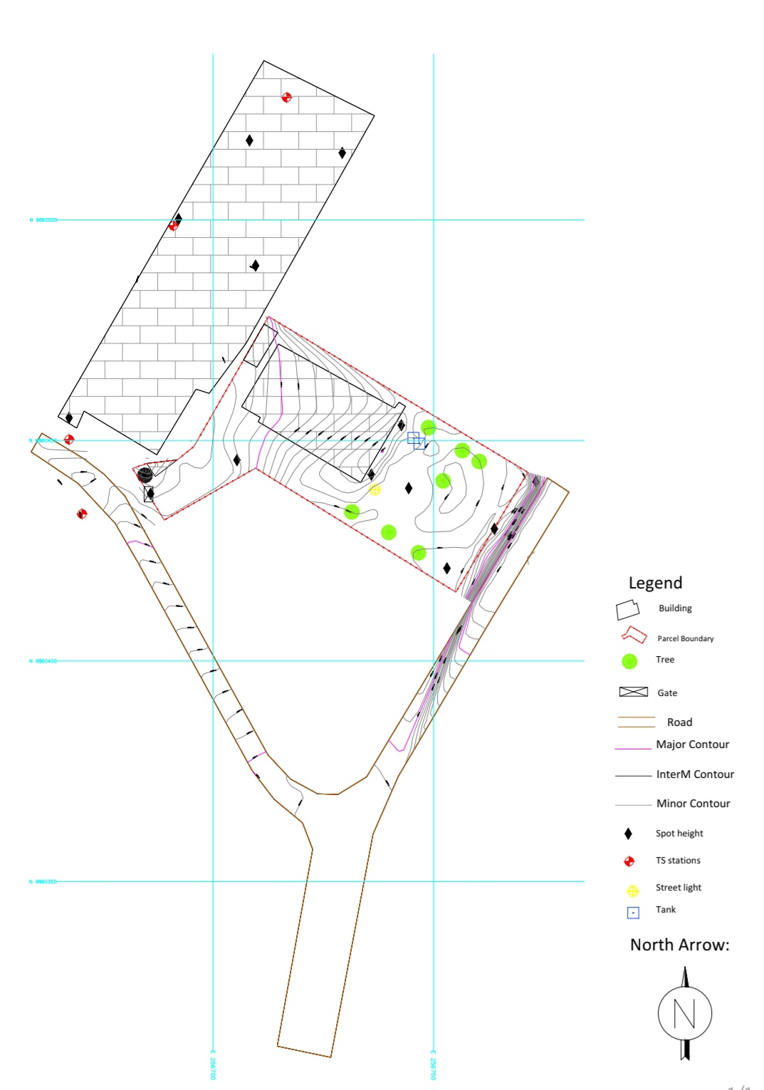
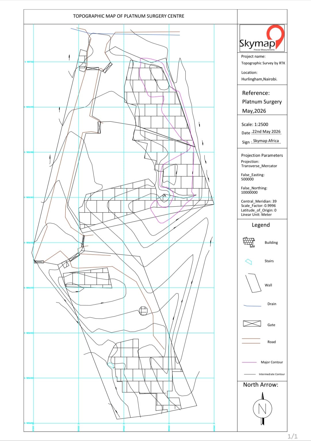
Topographic

Hospital Development Site

Hurlingham, Nairobi

1.2975° S 36.7869° E

Tap for map
Map location: Hurlingham, NairobiHospital Development SiteTap to flip back
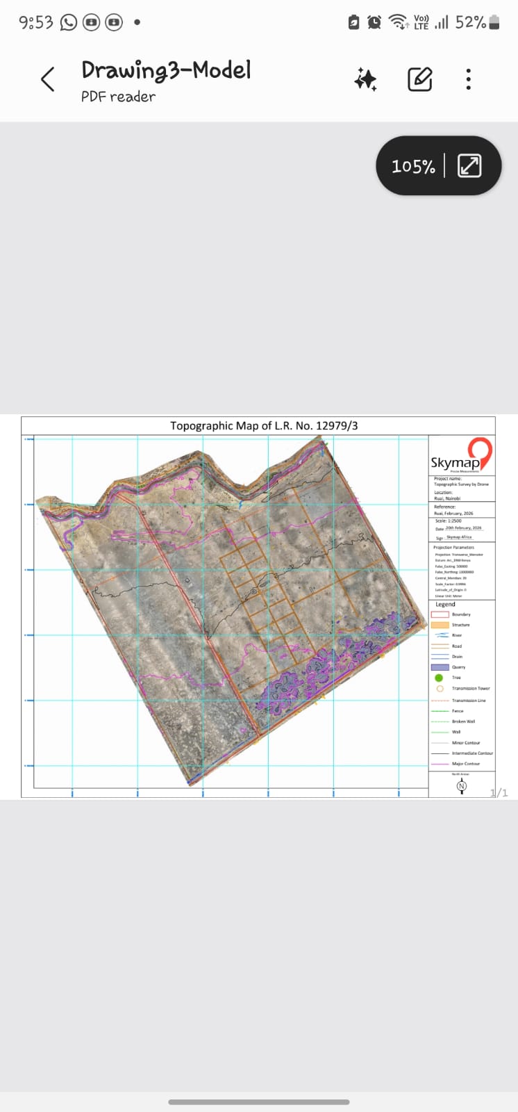
UAV & Drone

1,000-Acre Farm Mapping

Ruai

1.3208° S 37.0104° E

Tap for map
Map location: Ruai1,000-Acre Farm MappingTap to flip back
UAV & Drone

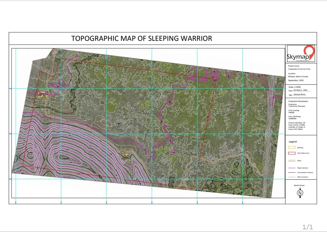
Sleeping Warrior Terrain Mapping

Lake Elementaita

0.4525° S 36.2481° E

Tap for map
Map location: Lake ElementaitaSleeping Warrior Terrain MappingTap to flip back
Hydrographic

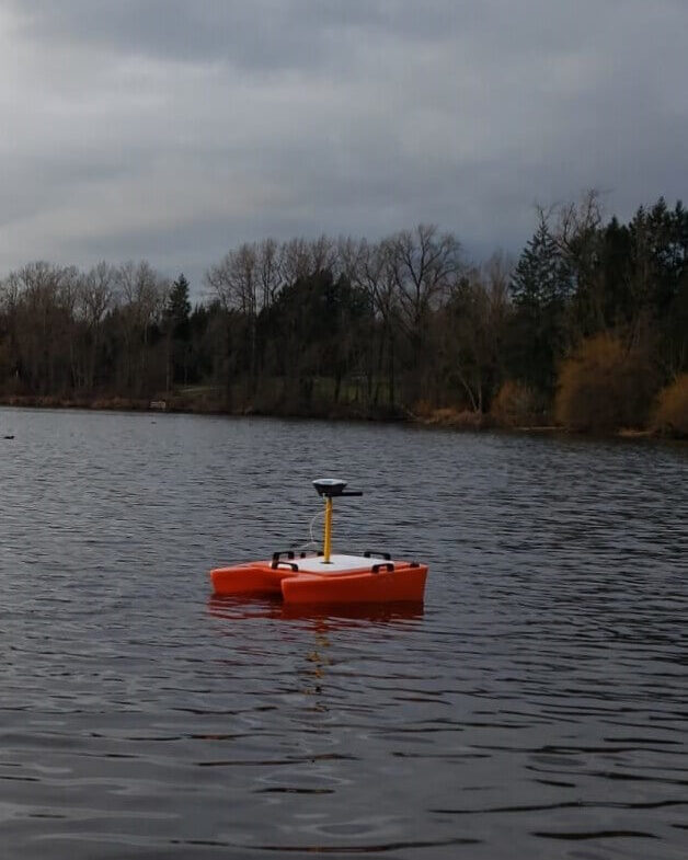
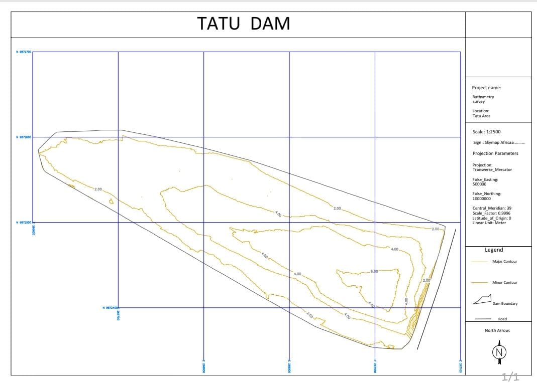
TATU Dam Bathymetry

TATU

1.1500° S 36.9333° E

Tap for map
Map location: TATUTATU Dam BathymetryTap to flip back
Engineering

Suswa Road Topo

Suswa, Narok

1.2046° S 36.8331° E

Tap for map
Map location: Suswa, NarokSuswa Road TopoTap to flip back

Capabilities

Topographic surveysCadastral & boundary surveysEngineering surveysConstruction & as-built surveysDrone mapping & orthophotographyGIS mapping & spatial analysisParcel digitizationLand information managementSurvey data processingDigital mapping solutionsBathymetric and hydrographic surveys