Road Junction Expansion Survey
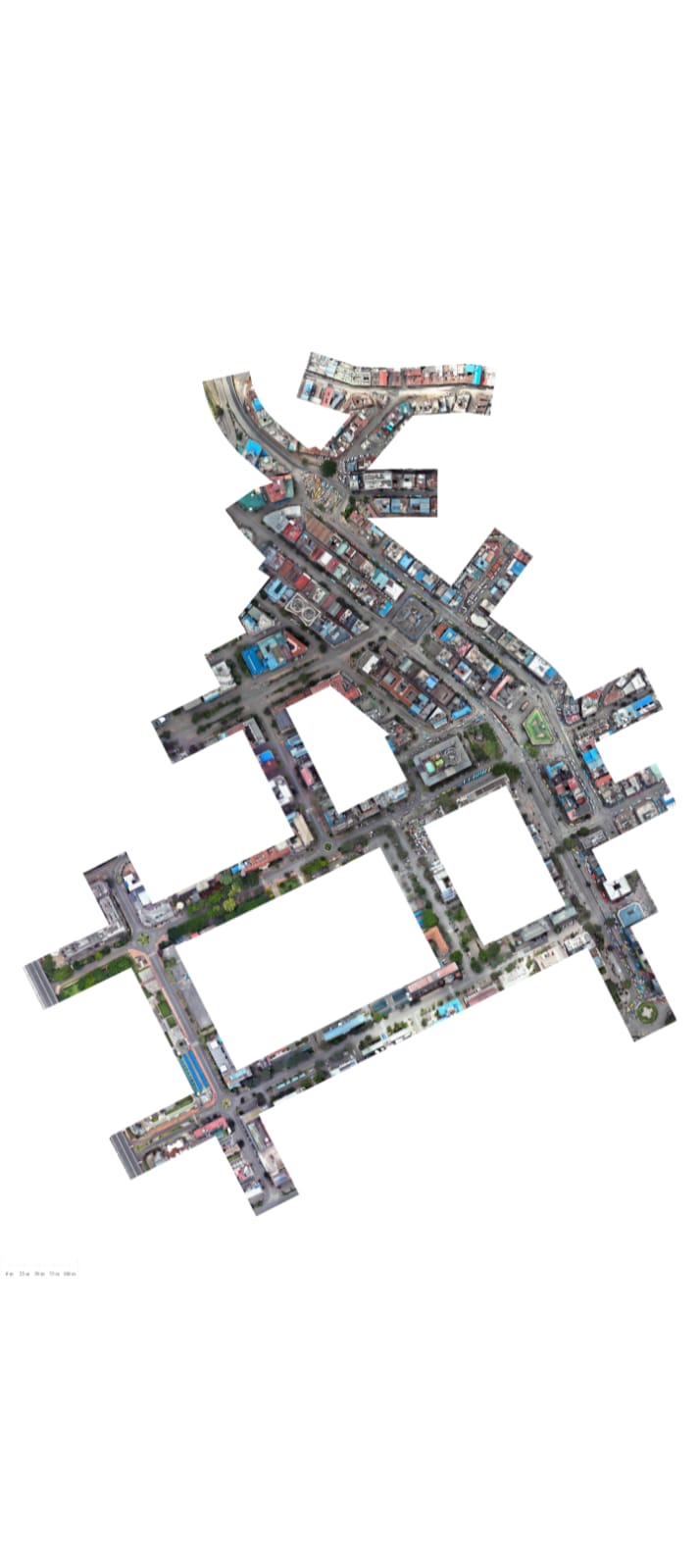
This ongoing project supports the planning and design of potential road junction expansions across various locations in Kenya. The objective is to provide accurate geospatial data that enables engineers and planners to assess existing conditions and develop improved junction designs.
Objectives
Scope of work
Conducted UAV (drone) surveys to capture high-resolution aerial imagery of road junctions.
Performed topographic surveys using GNSS/Total Station to collect features that could not be accurately captured from aerial imagery, such as obscured infrastructure, drainage features, utilities, and other ground details.
Processed survey data to produce georeferenced orthophotos, Digital Surface Models (DSM), and Digital Terrain Models (DTM).
Digitized road networks, road centerlines, and surrounding features within a GIS/CAD environment.
Integrated drone and ground survey data to produce accurate mapping datasets for engineering and planning.
Outputs
Deliverable types from this project — add real renders/photos here once available.



Software & equipment
My role
Status
Ongoing — additional junctions continue to be surveyed and processed to support infrastructure planning across Kenya.
Demonstrates
More projects, or something similar you need surveyed?