Affordable Housing Drone Mapping — Konza & Mbotela
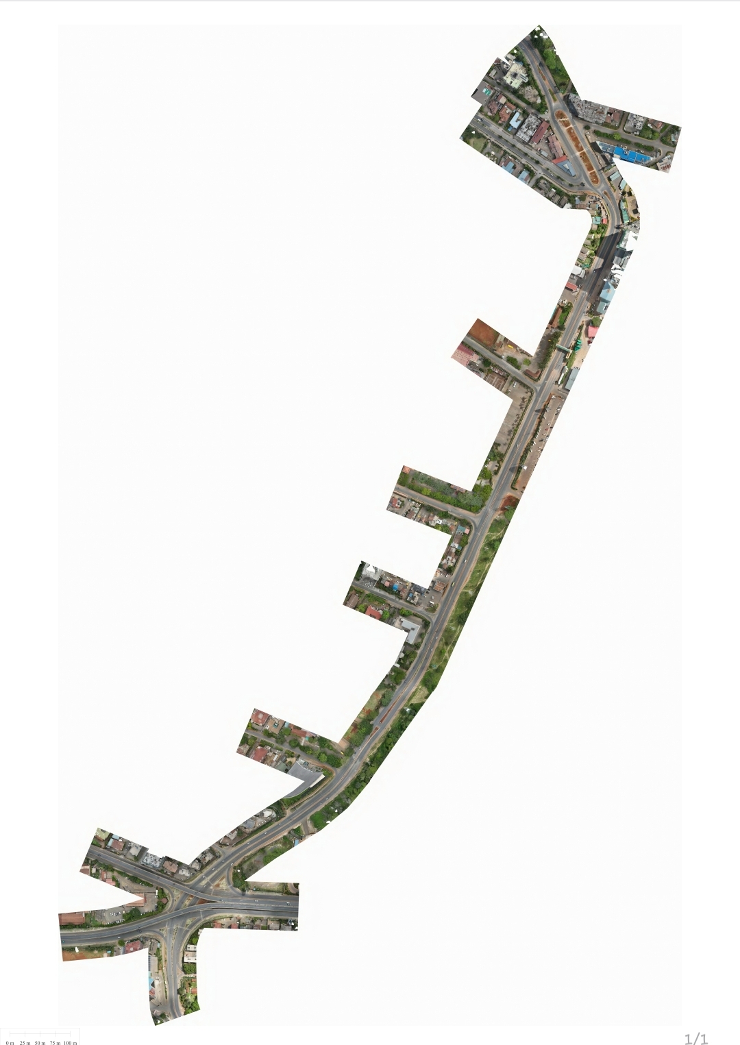
High-accuracy drone mapping surveys for Affordable Housing developments in Konza and Mbotela, Kenya. The objective was to produce accurate geospatial datasets to support planning, design, and construction activities within the housing developments.
Objectives
Scope of work
Established static GNSS control points before each drone mission.
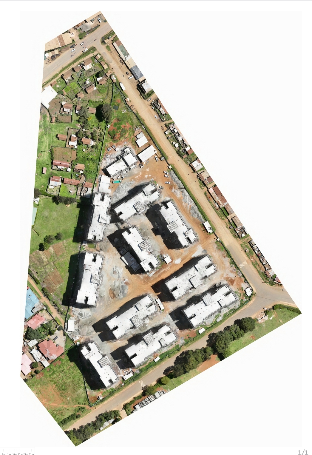
Conducted UAV flight operations to capture high-resolution aerial imagery across the project sites.
Logged static GNSS observations throughout the drone flight to ensure accurate georeferencing.
Processed GNSS and UAV datasets to achieve survey-grade positional accuracy.
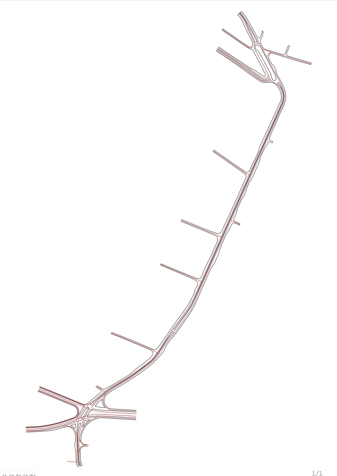
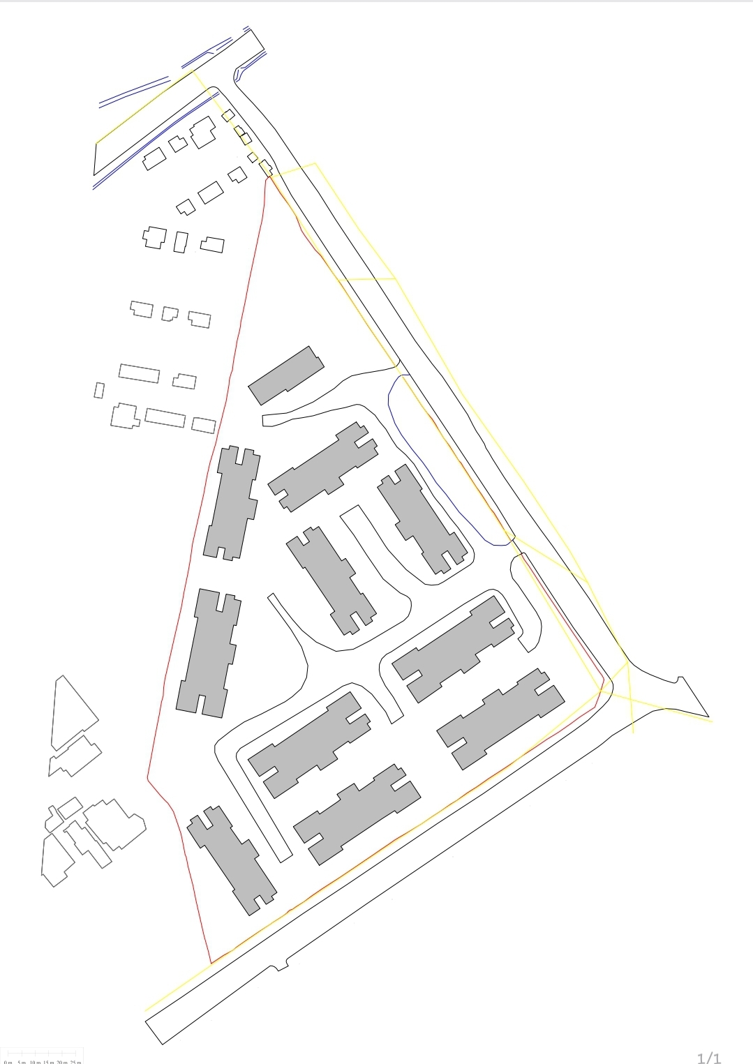
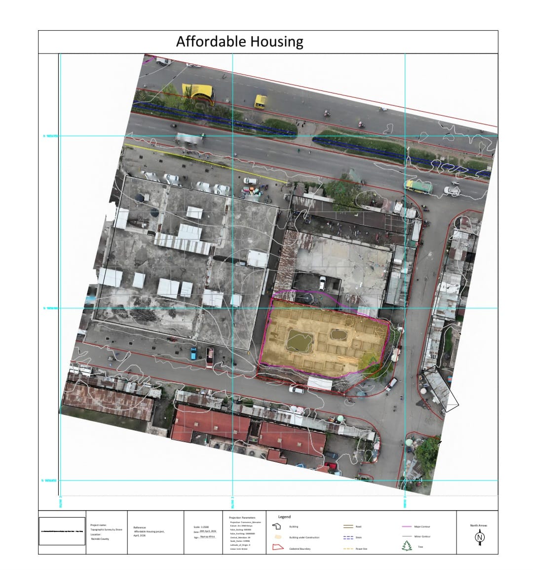
Generated topographic survey deliverables from the processed data.
Outputs
Deliverable types from this project — add real renders/photos here once available.


Software & equipment
My role
Outcome
The project delivered highly accurate geospatial datasets that support the planning, design, and implementation of Affordable Housing developments in Konza and Mbotela. The survey products provide reliable spatial information for engineering design, site planning, and construction management.
Demonstrates
More projects, or something similar you need surveyed?